Overview
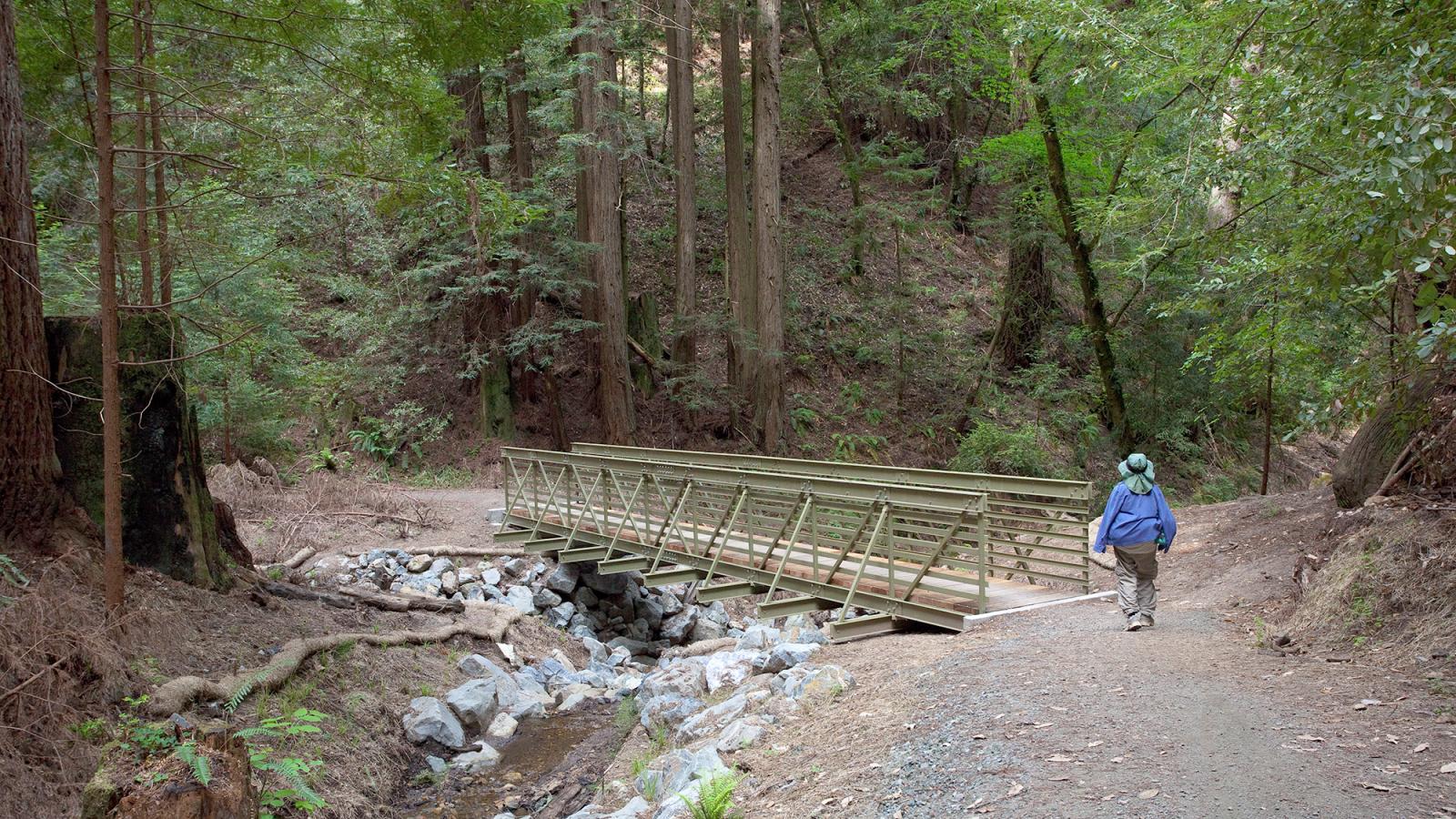
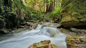
More than 34 miles of multiuse trail are available for exploration at the 2,908-acre El Corte de Madera Creek Open Space Preserve. While this preserve is extremely popular with bicyclists, it also has lots of hearty hiking and horseback riding opportunities. Visitors will find creekside trails through mixed evergreen and redwood forests, enjoy ocean views, admire rare sandstone formations and experience a sense of remoteness.
Numerous logging roads are still evident, most of which are now trails. With a little help, nature has incredible healing powers: the deep canyons have regenerated dense stands of second-growth redwoods. While most of the giant old-growth redwoods were logged, a few awe-inspiring giants remain to be seen.
This trail travels through an area of endemic (locally native) Kings Mountain manzanita. A hike to this unique hilltop rewards you with top-of-the-world views toward the Pacific Ocean.
This single-track trail winds along a redwood-forested ridgeline on the western slope of the Santa Cruz Mountains. You can see sandstone outcroppings as well as many old-growth stumps from early logging, with springboard notches still visible in some of them.
This multiuse, single-track trail that winds through the canyon was named for and dedicated to those who lost their lives on the ill-fated DC-6 commercial airplane, named Resolution, which crashed here in October 1953. The trail starts below the vista point, a knoll off the Fir Trail that served as the base of rescue operations following the crash. Please respect this historical site by leaving any artifacts where you find them.
This trail travels through a lush mixed evergreen forest. Although it allows for easy access, please note this is a narrow trail and a popular mountain biking destination. To reach this trail, park at the El Corte de Madera Parking Area west of Highway 35.
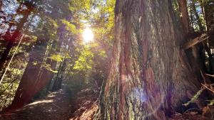
To visit one of the preserve’s remaining old-growth redwoods, take the Timberview Trail (near its junction with the Giant Salamander Trail). This massive coast redwood is approximately 50 feet in circumference at its base and stands so tall there is barely enough room to stand back and appreciate its full majesty.
Preserve Highlights & Features
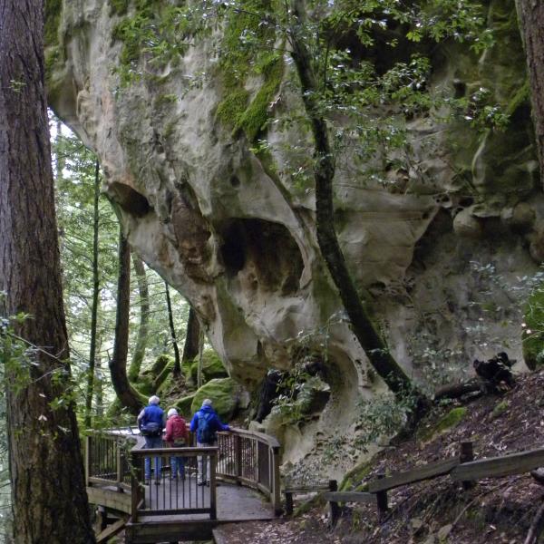
Tafoni Rock Formations
From the Tafoni Trail visitors to this preserve can see unique sandstone formations called Tafoni. Cave-like indentations and delicate honeycomb structures are formed in the sandstone by just the right combination of weather and atmospheric conditions.
It takes hundreds of years for tafoni to form. Please admire these fascinating geologic features from the observation deck and not climb the rocks so that others may enjoy them for years to come.

The Resolution Memorial
San Mateo County's deadliest plane crash occurred in what is now El Corte de Madera Creek Preserve on October 29, 1953. A DC-6 airplane called The Resolution en route from Australia was approaching San Francisco airport in dense fog and hit a ridge just west of Sierra Moreno. All eight crew members and 11 passengers, including the American pianist William Kapell, were killed.
A plaque memorializing this tragic event can be found along the Resolution Trail in this preserve.
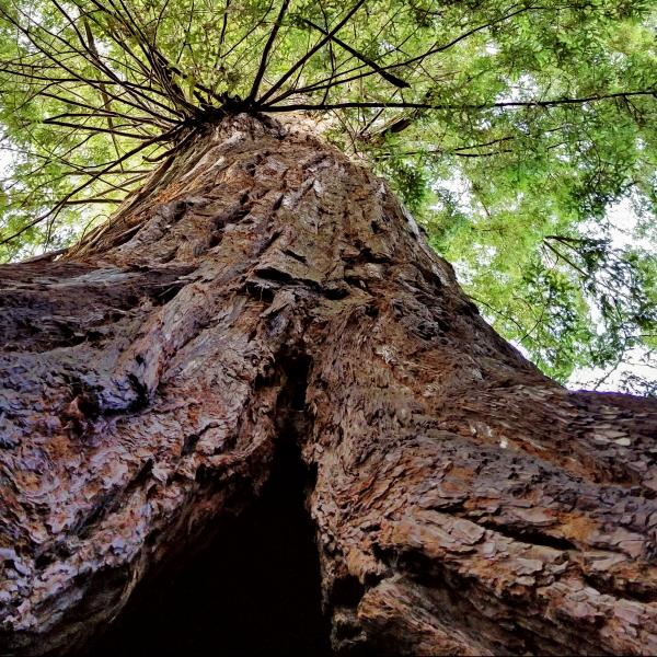
Methuselah Tree
Across Skyline Boulevard, you can visit an 1,800 year-old redwood tree that avoided the logger's saw known as Methuselah. It is the largest redwood in the Santa Cruz Mountains outside of Big Basin Redwoods State Park. The tree is on land owned by the California Water Service, who generously allow public access.
The El Corte de Madera Creek area, meaning "cut wood" in Spanish, had up to 15 sawmills during the late 1800s. You may observe springboard notches in giant stumps and other logging artifacts. Intense logging ended around 1900, and selective logging continued until Midpen protected the area as a preserve in the late 1980s.
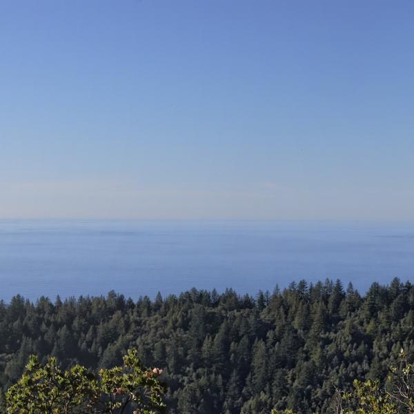
Ocean View
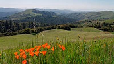
While this preserve is known for its steep, forested terrain, it also has fabulous coastal views if you know where to look.
On your way to visit the tafoni rock formation, take a short detour on the Fir Trail to a vista point with panoramic views of the forested Santa Cruz Mountains, grassy coastal hills and the Pacific Ocean.
New Trail
The Oljon Trail opened in 2019 as the newest addition to this preserve, and as a new segment of the Bay Area Ridge Trail.
Building the Oljon Trail involved removing a portion of Steam Donkey Trail, removing and rehabilitating old logging roads and adding new single-track trail to create new loop options for visitors. The trail is the final piece of an 18-year Watershed Protection Program to restore the landscape, protect sensitive fish habitat, improve forest health and enhance the visitor experience.
Stories from the Preserves

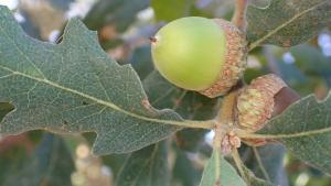
Nature
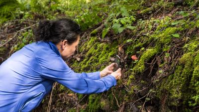
Here are some of the plants and animals that other visitors have observed at this preserve and recorded in iNaturalist. Protected species may be excluded and some species may not yet have been observed. Help improve iNaturalist by adding your observations to the Midpen Biodiversity Index project
Join our e-mail list to stay up-to-date on this preserve and other Midpen news!
Know Before You Go
Preserve regulations help provide a safe, enjoyable visit while protecting sensitive areas and wildlife.

Share the Trail
Use designated trails to avoid damage to natural resources and prevent injury.
Avoid blocking the trail. Step aside to allow others to pass .
Whether you’re walking or biking, always yield to equestrians.
Leave no trace. Pack out what you pack in. Most preserves do not have trash cans. Littering is prohibited.
Abuses of trail etiquette should be brought to the attention of a ranger or call the Midpen main office at 650-691-1200.
- Methuselah Trail is CLOSED to equestrians from Giant Salamander Trail to South Leaf Trail due to trail damage.
Find bike racks at Midpen preserves as well as other amenities such as bike tire cleaning stations and benches.
El Corte de Madera Parking Area (65 spaces): Located on the west side of Highway 35 (Skyline Boulevard), about 1 mile south of the Caltrans Skeggs Point parking area and 2.7 miles north of the intersection of Skyline and Highway 84 (La Honda Road). Equestrian trailer parking is available at this location.
Skeggs Point Parking Area (26 spaces): Access to the El Corte de Madera Creek Trail / Tafoni Trail entrance is located across Skyline Boulevard at the Caltrans Skeggs Point parking area. Parking is available on the east side of Skyline, about 4 miles north of Highway 84 and 1.5 miles south of Kings Mountain Road (left turn into the parking area is prohibited when approaching from the north).
Methuselah Roadside Parking (5 spaces)
Gordon Mill Roadside Parking (5 spaces)
Star Hill Roadside Parking (6 spaces)
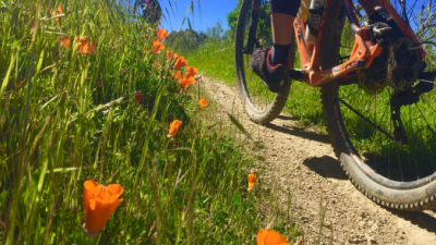
- Bicyclists: Bicycles are allowed on designated trails only (marked on map). Helmets are required. Observe the 15 mph trail speed limit (5 mph when passing). E-bikes are not allowed on most Midpen trails. Avoid startling hikers and equestrians by announcing your presence when approaching from behind. For more information visit the Bicycle Access page.
- Dogs: Dogs are not allowed in this Preserve. For information on dog-friendly preserves visit the Dog Access page. In accordance with the Americans with Disabilities Act, Midpen accommodates service dogs in preserves wherever we allow public access.
- Drones and Model Aircraft: Drones, model airplanes and model rockets are NOT allowed.
- Equestrians: Horses are allowed on designated trails (marked on map). Helmets are recommended for all equestrians. For more information visit the Equestrian Access page.
- Fires are prohibited in preserves.
- Plants & Wildlife: Please leave undisturbed. If you encounter wildlife during a visit, do not approach, startle or feed it. Although wild animals are generally fearful of humans and will run away, some wildlife can be dangerous.
- Smoking is prohibited in preserves.
- Water Areas: Swimming, wading or engaging in any water-contact activity is prohibited.
- Weapons are prohibited in preserves.
A general access permit is required for any activity or event that:
- may be attended by twenty (20) or more people; OR
- would restrict the use of any part of Midpen lands by members of the public; OR
- requests or requires a fee be paid or a donation made for participation. This includes events where the fee is in the form of a mandatory purchase, such as a t-shirt.
Midpen trails and facilities are generally very safe. However, you are entering an environment where there are some naturally occurring hazards. Reasonable caution and common sense should be utilized when venturing into any outdoor environment.
- Do not leave valuables in your vehicle! Lock your vehicle and store valuables out of sight or take them with you on the trail.
- Travel in groups of two or more. Two of more people can assist each other in the event of an accident or emergency.
- Dress for the environment. Temperature changes can be occur and you should dress in layers appropriate for the location, time of year and planned activities.
- Carry water with you. Drinking water is not available at most Midpen preserves so you should bring your own. Two quarts per person per two hour hike is recommended.
- Apply sunscreen and drink plenty of water prior to and during your outdoor activities.
- Be aware that cell service is very sporadic on the preserves.
Be Prepared and Aware
Plan ahead before you leave. Check regulations and weather, download a map, pack water and first aid.
Know your limits and take safety precautions.
Rattlesnakes are native to this area and are especially active in warm weather.
Poison oak grows on most preserves: Learn to identify and avoid it in all seasons.
Ticks are present in this area and may carry diseases.
Mountain lions are a natural part of this region’s environment and are occasionally seen.
In Case of Emergency
If you experience an emergency (fire, accident or other immediate threat to life or property), call 911. For nonemergencies, call 650-691-1200.
Activities & Events
History
The Spanish phrase “el corte de madera” roughly translates to “cutting wood,” referring to the clear-cut logging that took place here, starting in the 1860s. As San Francisco flourished following the discovery of gold in California, logging the coastal redwood forests supplied building materials for the growth. The remote nature of this preserve, coupled with its steep terrain, kept loggers away until the 1860s. Resourceful entrepreneurs spent the next 50 years building and operating eight different mills adjacent to the creeks of the preserve. Around the turn of the century, the mills were closed or nearing the end of their economic viability. Modern selective logging continued periodically until 1988, shortly after the preserve was created.
Be watchful when visiting the preserve. With a little imagination and a good eye, telltale signs of past history are still evident. You might notice a flattened pad where a mill or cabin once stood, or the rusted remains of heavy equipment, abandoned when the mills were no longer economical to operate. Numerous logging roads are still evident, most of which are now trails. With a little help, nature has incredible healing powers: the deep canyons have regenerated dense stands of second-growth redwoods. While most of the giant old-growth redwoods were logged, a few awe-inspiring giants remain to be seen.
Brochures and Resources
Some additional resources to help you enjoy the preserves!

