Midpen is at the initial phase of developing crossing structures for wildlife and humans across State Highway 17, between the town of Los Gatos and Bear Creek Road. This high priority project was identified by the public and is part of Midpen’s adopted Vision Plan. It is partially funded by Measure AA, a bond measure approved by voters in 2014.
 The project area has been identified as a “roadkill hot spot,” a place that is dangerous to both wildlife and people who try to navigate an increasingly busy stretch of narrow highway. This section of Highway 17 lacks wildlife-accessible culverts and bridges that provide safe crossing for wildlife. As a result, over the last nine years, 82 animals have been killed in this section of the highway, including 51 deer, 5 mountain lions and numerous small and medium mammals. These collisions (and near collisions) are also extremely dangerous for motorists and their passengers.
Wildlife Connectivity
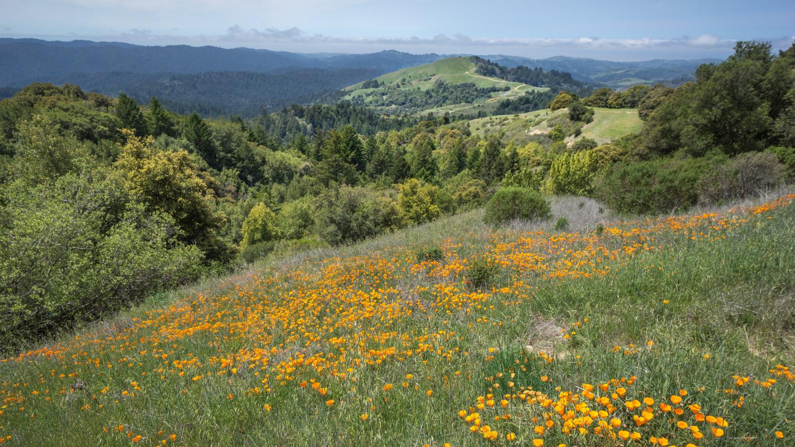
Highway 17 has fragmented thousands of acres of open space in the Santa Cruz Mountains, limiting the ability of wildlife to find food, mates and habitat. Well-placed and appropriately designed crossings will help alleviate wildlife and vehicular collisions and will enable wide-ranging species like mountain lions to live healthier lives in an increasingly urbanized landscape.
 Crossings for People
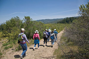
Midpen will partner with the Bay Area Ridge Trail Council and others to improve regional trail connections across Highway 17. Existing trails include: the Los Gatos Creek Trail, trails in El Sereno and St. Joseph’s Hill, Lexington County Park trails, and connections to neighborhoods in the Lexington Basin, the Santa Cruz Mountains and beyond. This route is expected to become part of the National Park Service’s Juan Bautista de Anza National Historic Trail.
Public Input
On August 2, 2016, Midpen hosted a meeting in Los Gatos to review the crossings project. Nearly 40 members of the public attended and submitted 36 comments. Of the four proposed over- and under-crossings, the wildlife under-crossing at Trout Creek had a high level of support from the vast majority of commenters (78 percent). The recreational crossing with the highest level of support was the Montevina Road under-crossing.
Project Timeline
| 2016 | Complete Feasibility Study, Initiate a Cooperative Project with Caltrans |
| 2017 - 2018 | Select Preferred Alternative(s), Environmental Review and Permitting |
| 2019 - 2020 | Plans and Specifications (Design) |
| 2021 (or later) | Construction (dependent on funding) |
For more information visit the Highway 17 Project Page

