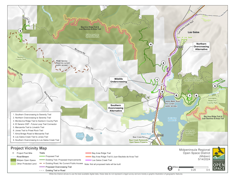
Midpen reached a major milestone in the Highway 17 Wildlife and Trail Crossing Project. In May, the Midpen board of directors selected the trail overcrossing location, which will connect the Los Gatos Creek Trail to El Sereno Open Space Preserve over Highway 17. The future trail will connect over 50 miles of existing regional trails and will accompany a separate wildlife undercrossing.
While greenbelts and open spaces are critical for the health of animals and people alike, their benefits are exponentially greater when they are connected. Roads and highways can act as barriers for wildlife movement and trail users. Midpen has been working to bridge this divide by creating an east/west connection across Highway 17, just south of Los Gatos.

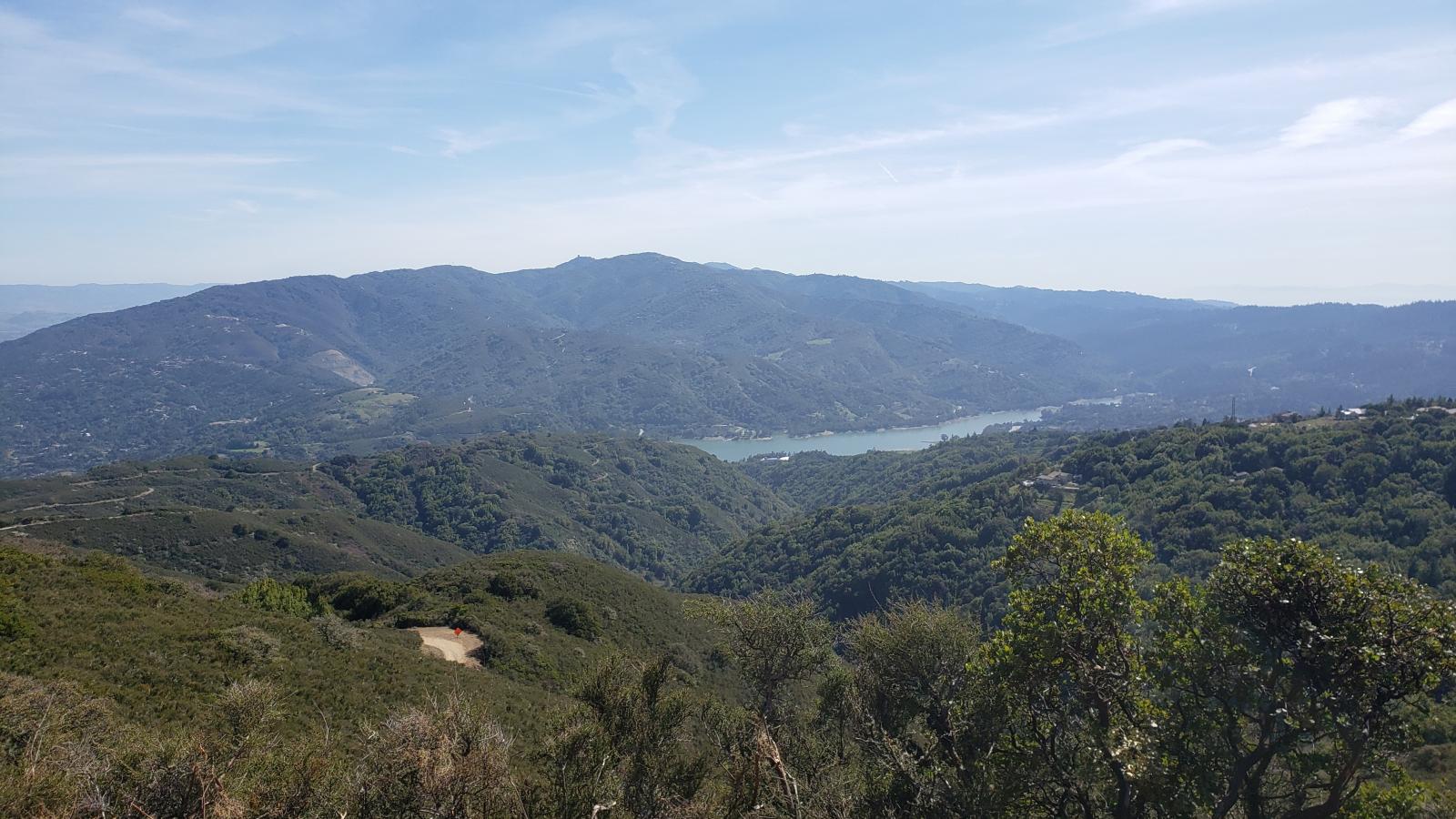
The future trail location will be approximately half a mile north of the Lexington Reservoir and function as multiuse trail for pedestrians, bicyclists, equestrians and potentially dogs on-leash. Adjacent rest areas would be provided at each end of the bridge for users to enjoy views of the reservoir and surrounding mountains, rest, or let others pass on the trail.
The directors were deciding between two locations for the overcrossing (the southern and northern locations). The northern overcrossing would be slightly further away from the site of the wildlife crossing, thus potentially increasing the functionality of the undercrossing. While neither alternative would result in significant impacts to the environment, the selected option would result is fewer existing trees being impacted and less permanent impacts to upland habitat for the California red-legged frog, a species of special concern.
Several community members provided their support for the northern overcrossing during the public comment period of the meeting. Community meetings conducted by the project team also heard preference for the northern overcrossing due to its direct connection to the Los Gatos Creek Trail.
With the decision made, this project takes another step closer to becoming reality. The project is made possible by funding from Measure AA and will continue to move through environmental review and preliminary design phases.

