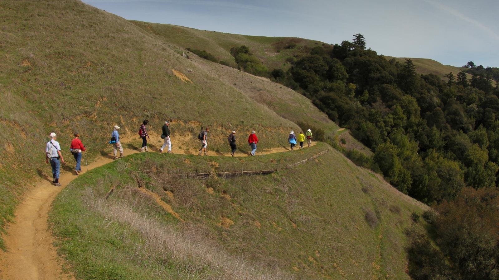
Ramble along multiple trails on a "Lucky Seven" route with Docent Naturalists Nancy Weintraub and Nick Yatsko. This moderately-paced, seven-mile-long, 700-foot elevation gain, exercise-focused hike takes you along the Lower Meadow past Deer Hollow Farm where you’ll learn how Measure AA-funding contributed to improvements at the Farm. Then you’ll continue on the Rogue Valley Trail to the pond, up the "one mile hill" to the Upper Rogue Trail, and beneath the oak and bay canopies to the High Meadow Trail. After absorbing a view of the bay and a brief snack stop you’ll return on the Wildcat Connector Trail to the Lower Wildcat Trail to see if there is still water in the creek. To complete the loop you’ll head back on the Lower Meadow Trail past Deer Hollow Farm to the parking area.
Meet near the restroom at the bottom of the hill in the preserve parking lot farthest to the right. From I-280, take Foothill Boulevard south and turn right almost immediately onto Cristo Rey Drive. Continue about 1 mile, veer right around the traffic circle, and turn left into the park. After entering the preserve, turn right and drive approximately 0.3 miles to Lot 6.

