
Get the #SpottedAtMidpen guide, your key to discovering some of the amazing things in your open space preserves.
Let us see what you spot!
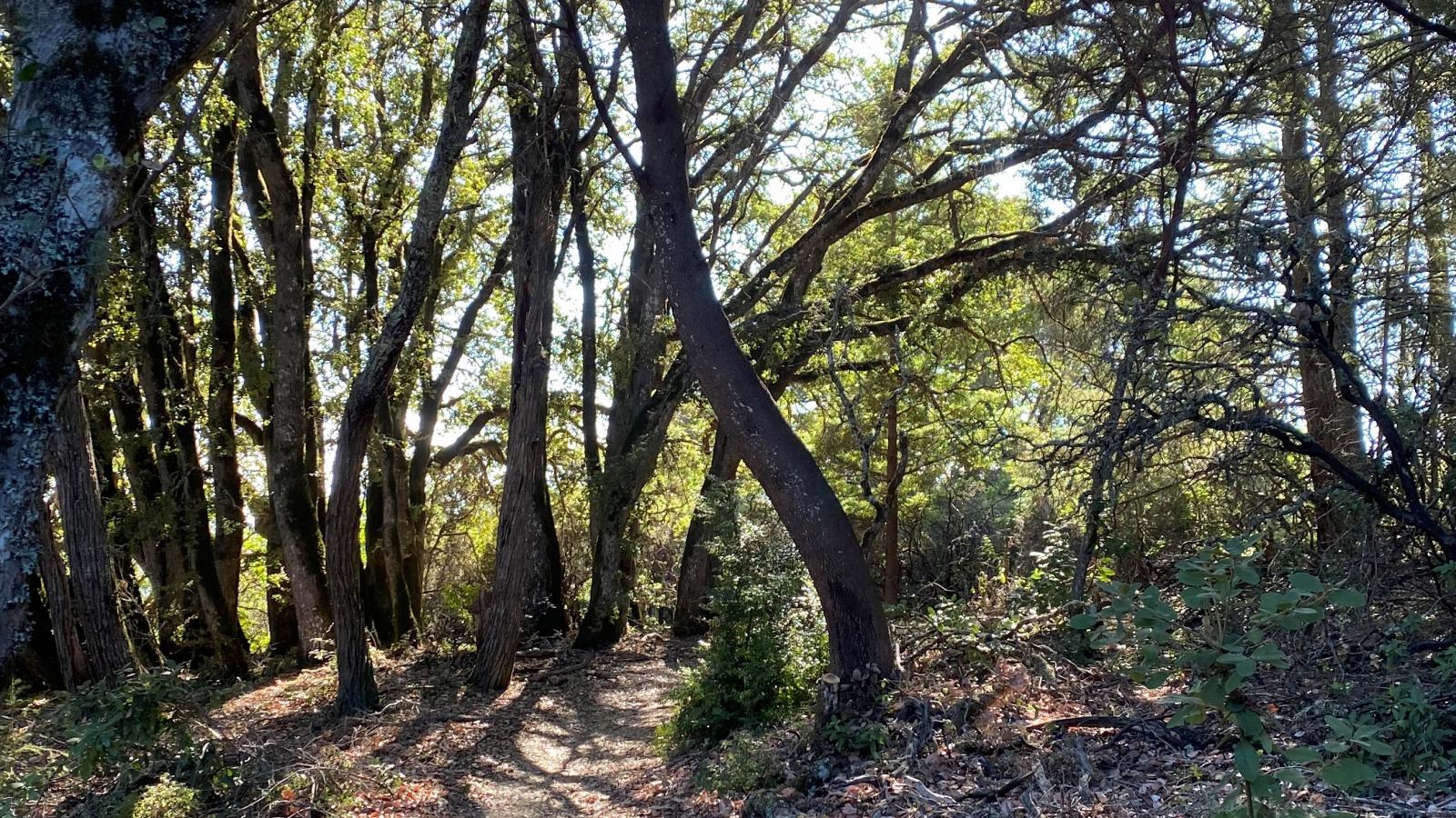
Teague Hill Open Space Preserve is located in the Santa Cruz Mountains just above the town of Woodside. For those interested in visiting Teague Hill Preserve, the only accessible route is along the Bay Area Ridge Trail.
For those who are interested in visiting Teague Hill, the only accessible route is along a portion of the Bay Area Ridge Trail (Skyline Trail), which can be accessed approximately 0.25 miles east of Skyline Boulevard on Kings Mountain Road. The trailhead is located on the south side of the road. This trail can also be accessed from Skyline Boulevard.
The trail will take hikers or equestrians through a small portion of the northwest corner of Teague Hill on the way to San Mateo County’s Wunderlich Park, or Midpen's El Corte de Madera Open Space Preserve.

Get the #SpottedAtMidpen guide, your key to discovering some of the amazing things in your open space preserves.
Let us see what you spot!
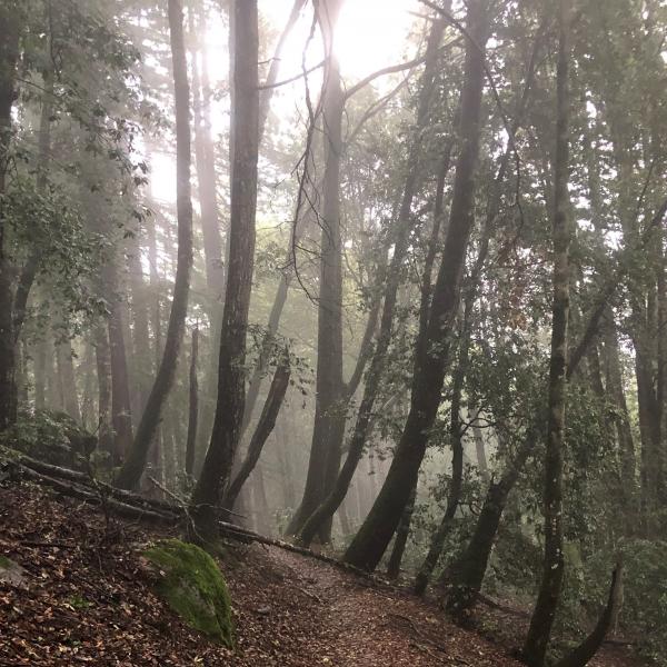
The Bay Area Ridge Trail, a regional trail which links the ridges encircling the Bay Area, passes through Teague Hill Open Space Preserve. In fact, the Skyline Trail section of the Bay Area Ridge trail is the only way that one can access Teague Hill! Even though the majority of Teague Hill is inaccessible, the preserve helps improve public trail access by providing this immensely important regional trail connection.
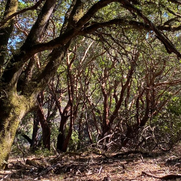
The corner of Teague Hill that visitors can hike through offers a beautiful example of oak and madrone woodlands, which are a defining feature of Bay Area ecology. If you are lucky, you may even get to see a Kings Mountain Manzanita, a rare plant that is endemic to the mountain that Teague Hill is located on.
Here are some of the plants and animals that other visitors have observed at this preserve and recorded in iNaturalist. Protected species may be excluded and some species may not yet have been observed. Help improve iNaturalist by adding your observations to the Midpen Biodiversity Index project
Preserve regulations help provide a safe, enjoyable visit while protecting sensitive areas and wildlife.

Use designated trails to avoid damage to natural resources and prevent injury.
Avoid blocking the trail. Step aside to allow others to pass .
Whether you’re walking or biking, always yield to equestrians.
Leave no trace. Pack out what you pack in. Most preserves do not have trash cans. Littering is prohibited.
Abuses of trail etiquette should be brought to the attention of a ranger or call the Midpen main office at 650-691-1200.
Parking is not available for Teague Hill Preserve. Access is only available via the Bay Area Ridge Trail that connects through the adjacent Huddart Park (a San Mateo County park)
A general access permit is required for any activity or event that:
Midpen trails and facilities are generally very safe. However, you are entering an environment where there are some naturally occurring hazards. Reasonable caution and common sense should be utilized when venturing into any outdoor environment.
Plan ahead before you leave. Check regulations and weather, download a map, pack water and first aid.
Know your limits and take safety precautions.
Rattlesnakes are native to this area and are especially active in warm weather.
Poison oak grows on most preserves: Learn to identify and avoid it in all seasons.
Ticks are present in this area and may carry diseases.
Mountain lions are a natural part of this region’s environment and are occasionally seen.
If you experience an emergency (fire, accident or other immediate threat to life or property), call 911. For nonemergencies, call 650-691-1200.
In Spanish times, pre-sawmill lumbering occurred at the fringe of forests around Portola Valley and Woodside to provide hand made shingles, hand hewn logs, and hand cut lumber for the construction of the Presidio, Mission of San Francisco, Mission Santa Clara, and pueblo of San Jose.
Sawmilling in the Bear Gulch area, adjacent to Teague Hill, was started by San Mateo County’s first really large lumbering enterprise: the Baker & Burnham Gang Mill. This highly mechanized operation was set up in 1852. The exact site of the mill is not known, but it was perhaps near the upper end of Tripp Court, where small pieces of heavy equipment have been found. Large redwoods in Bear Gulch and Appletree Gulch (on the Preserve) surrounded the mill to the north. A financial crash and legal trouble ended this operation in 1855. The former creditors of Baker & Burnham became the owners and, headed by M. S. Gibbs, moved the mill to Squealer Gulch Creek, just to the other side of the current Preserve. The area continued to be logged under various owners, and was timbered out around 1865. Shingle mills could continue to operate, because they could work in canyons too deep or remote for lumbermen by using pack animals to carry the shingles out.
The first shingle mill in San Mateo County was introduced in 1856 by John G. Moore in Tripp Gulch, now a part of Teague Hill Open Space Preserve. The mill was later acquired by Dr.Tripp, a prominent Woodside merchant (and the town dentist), who for some time operated the small lumber yard. He made shingles with machinery; an innovative new process in the 1850s. Lumber went out via Old La Honda Road and past Woodside’s Whiskey Hill, heading for Redwood City. Woodside reached its peak as a lumbering center about 1859-60.
The County of San Mateo was formed by a separation from San Francisco County in 1856, and the lumber port of Redwood City was chosen as the seat of county government. Andrew Teague was elected San Mateo County District Attorney in 1869. Presumably Teague Hill was named after Andrew Teague.
The information is taken primarily from “SAWMILLS IN THE REDWOODS, Logging on the San Francisco Peninsula, 1849-1967,” by Frank M. Stanger, published by the San Mateo County Historical Association.
Some additional resources to help you enjoy the preserves!
