Overview
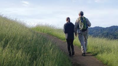
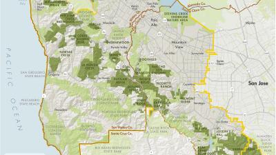
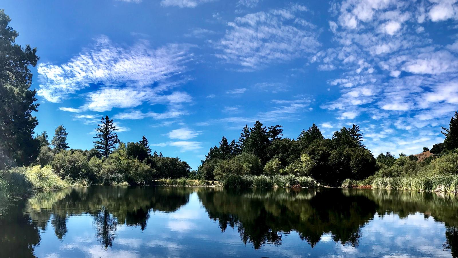
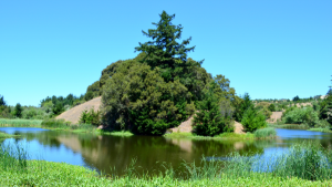
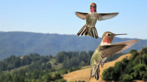
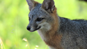
Skyline Ridge Preserve offers 2,143-acres of remarkably varied landscape that includes ridge vistas, expansive meadows, a pond for nature study, and a quiet lake frequented by migrating birds.
Funding from the California Park and Recreation Facilities Act of 1984 and the federal Land and Water Conservation Fund assisted development of this Preserve.
Preserve Highlights & Features
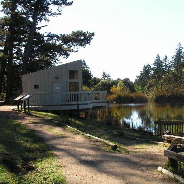
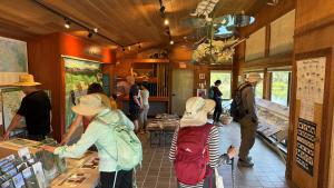
David C. Daniels Nature Center
Overlooking Alpine Pond at Skyline Ridge Open Space Preserve, the David C. Daniels Nature Center features imaginative displays that both children and adults can enjoy.
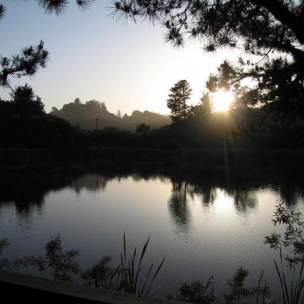
Alpine Pond and Horseshoe Lake
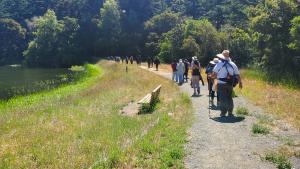
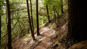
Suitable for families, leisurely- to moderate-level trails designed for wheelchair and stroller access can be found at both Alpine Pond and Horseshoe Lake.
Horseshoe Lake overlook has two oak-shaded picnic tables and Alpine Pond has two sunny tables adjacent to the pond.
Self-guided multimedia nature tours are available for Alpine Pond and along nearby trails.
Stories from the Preserves
")


Join our e-mail list to stay up-to-date on this preserve and other Midpen news!
Know Before You Go
Preserve regulations help provide a safe, enjoyable visit while protecting sensitive areas and wildlife.
Share the Trail
Use designated trails to avoid damage to natural resources and prevent injury.
Avoid blocking the trail. Step aside to allow others to pass .
Whether you’re walking or biking, always yield to equestrians.
Leave no trace. Pack out what you pack in. Most preserves do not have trash cans. Littering is prohibited.
Abuses of trail etiquette should be brought to the attention of a ranger or call the Midpen main office at 650-691-1200.
Skyline Ridge Gallery
Brochures and Resources
Some additional resources to help you enjoy the preserves!