Overview
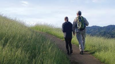
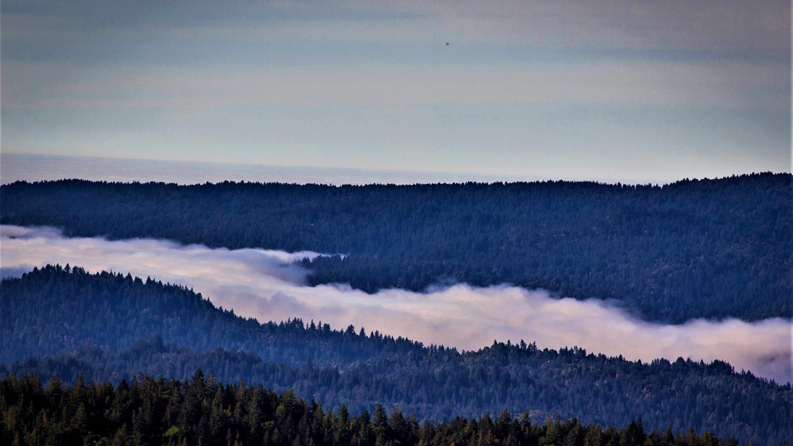
Saratoga Gap Open Space Preserve is a 1,600-acre outdoor adventure located at the junction of Highway 35 and Highway 9 in the Santa Cruz Mountains. The Sempervirens Fund provided critical support for acquisition of portions of this preserve.
Preserve Highlights & Features
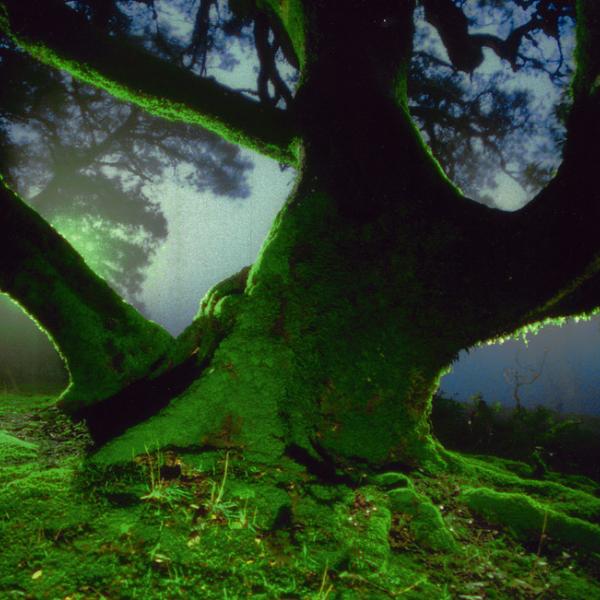
Lichen and Moss
Attractive moss-covered trees, lichen-covered boulders and sandstone rock outcrops add to the scenic value of this area.
Stories from the Preserves

")

Join our e-mail list to stay up-to-date on this preserve and other Midpen news!
Know Before You Go
Preserve regulations help provide a safe, enjoyable visit while protecting sensitive areas and wildlife.
Share the Trail
Use designated trails to avoid damage to natural resources and prevent injury.
Avoid blocking the trail. Step aside to allow others to pass .
Whether you’re walking or biking, always yield to equestrians.
Leave no trace. Pack out what you pack in. Most preserves do not have trash cans. Littering is prohibited.
Abuses of trail etiquette should be brought to the attention of a ranger or call the Midpen main office at 650-691-1200.
Brochures and Resources
Some additional resources to help you enjoy the preserves!