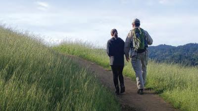
Overview
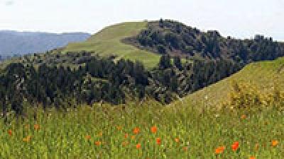
Preserve Highlights & Features

Overlook Platforms
Overlook platforms located at each end of the trail and along the boardwalk provide a great location for birdwatching or watching the tide roll away.

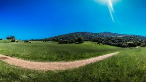
Salt Marsh Habitat
The tide moves in and out of the marsh several times a day, changing the look of the surrounding landscape. During high tide, the wetlands are a maze of connected waterways winding through cordgrass and pickleweed, unique marshland plants that thrive in the brackish mixture of fresh and saltwater. During low tide, the water recedes, revealing muddy soil that provides a great place for birds to feed.
These wetlands provide an important buffer for high-tide events and rising sea levels. The marsh vegetation acts as a sponge, absorbing and filtering water from both the bay and upland creeks. A gradually sloped landscape gives water levels space and time to dissipate and allows wildlife to move freely with changing tides.

Local Wildlife
The area attracts a variety of migrating birds including sandpipers, dowitchers, and avocets. Great blue herons, white pelicans, and egrets are also common.
Marshland vegetation provides protected habitat for the endangered Ridgway’s rail and salt marsh harvest mouse.
Cooley Landing
The nearby Cooley Landing Education Center, managed by the City of East Palo Alto, offers additional walking trails, picnic tables, educational signage and an outdoor amphitheater.

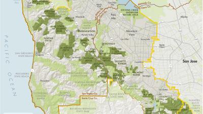
San Francisco Bay Trail
The trails within Ravenswood Preserve are part of the San Francisco Bay Trail, a planned 500-mile walking and cycling path around the entire San Francisco Bay, through all nine Bay Area counties, 47 cities and across seven toll bridges. With over 350 miles in place, the Bay Trail connects communities to parks, open spaces, schools, transit and to each other, and also provides a great alternative commute corridor. The ultimate goal of the Bay Trail is to build a beautiful shoreline bicycle and pedestrian path for all to enjoy. Visit baytrail.org for maps and more.
Stories from the Preserves


Join our e-mail list to stay up-to-date on this preserve and other Midpen news!
Know Before You Go
Preserve regulations help provide a safe, enjoyable visit while protecting sensitive areas and wildlife.
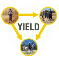
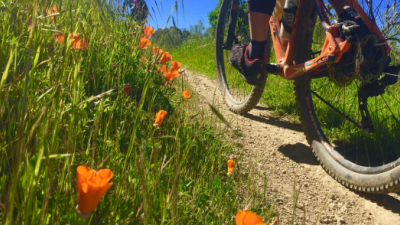
Share the Trail
Use designated trails to avoid damage to natural resources and prevent injury.
Avoid blocking the trail. Step aside to allow others to pass .
Whether you’re walking or biking, always yield to equestrians.
Leave no trace. Pack out what you pack in. Most preserves do not have trash cans. Littering is prohibited.
Abuses of trail etiquette should be brought to the attention of a ranger or call the Midpen main office at 650-691-1200.
Brochures and Resources
Some additional resources to help you understand and enjoy the preserves!