Overview
Preserve Highlights & Features
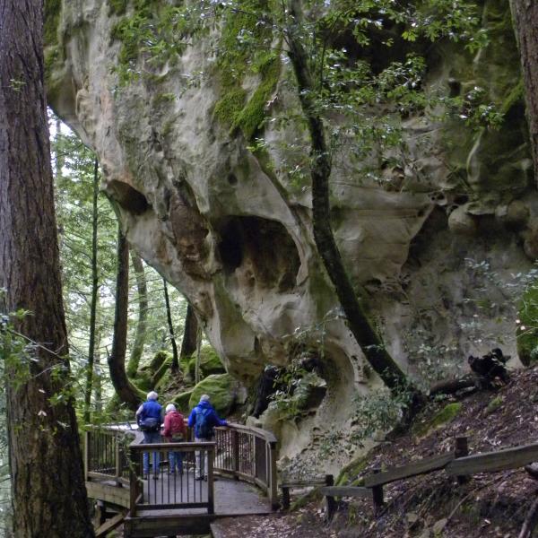
Tafoni Rock Formations
From the Tafoni Trail visitors to this preserve can see unique sandstone formations called Tafoni. Cave-like indentations and delicate honeycomb structures are formed in the sandstone by just the right combination of weather and atmospheric conditions.
It takes hundreds of years for tafoni to form. Please admire these fascinating geologic features from the observation deck and not climb the rocks so that others may enjoy them for years to come.
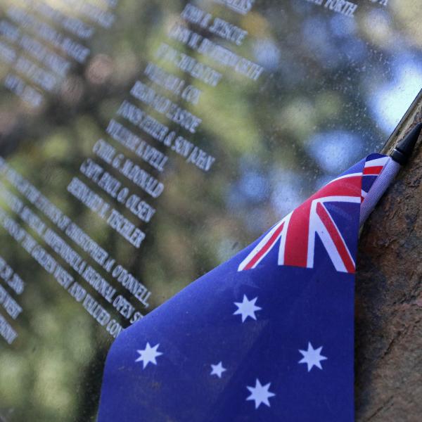
The Resolution Memorial
San Mateo County's deadliest plane crash occurred in what is now El Corte de Madera Creek Preserve on October 29, 1953. A DC-6 airplane called The Resolution en route from Australia was approaching San Francisco airport in dense fog and hit a ridge just west of Sierra Moreno. All eight crew members and 11 passengers, including the American pianist William Kapell, were killed.
A plaque memorializing this tragic event can be found along the Resolution Trail in this preserve.
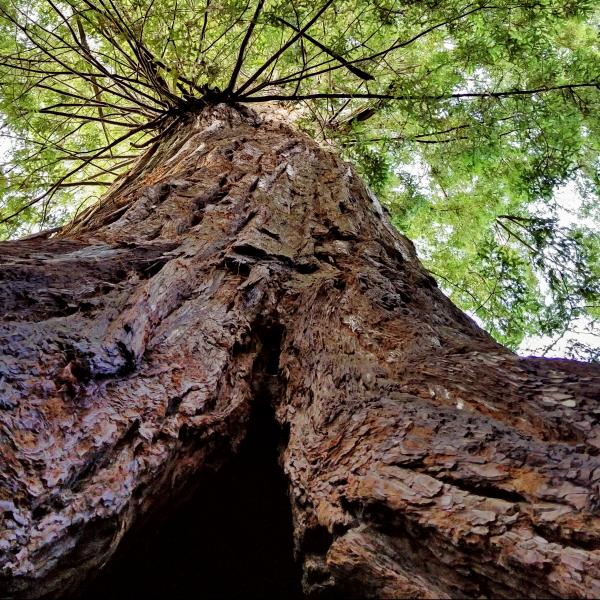
Methuselah Tree
Across Skyline Boulevard, you can visit an 1,800 year-old redwood tree that avoided the logger's saw known as Methuselah. It is the largest redwood in the Santa Cruz Mountains outside of Big Basin Redwoods State Park. The tree is on land owned by the California Water Service, who generously allow public access.
The El Corte de Madera Creek area, meaning "cut wood" in Spanish, had up to 15 sawmills during the late 1800s. You may observe springboard notches in giant stumps and other logging artifacts. Intense logging ended around 1900, and selective logging continued until Midpen protected the area as a preserve in the late 1980s.
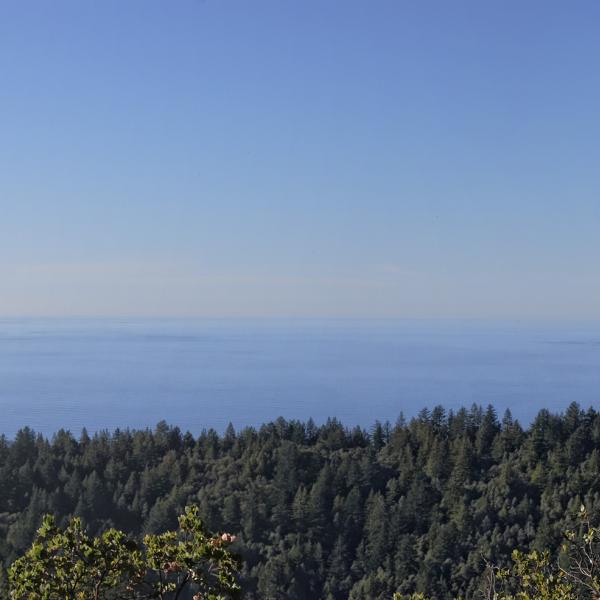
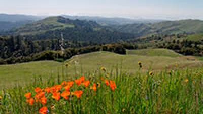
Ocean View
While this preserve is known for its steep, forested terrain, it also has fabulous coastal views if you know where to look.
On your way to visit the tafoni rock formation, take a short detour on the Fir Trail to a vista point with panoramic views of the forested Santa Cruz Mountains, grassy coastal hills and the Pacific Ocean.
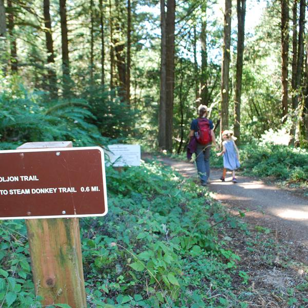
New Trail
The Oljon Trail opened in 2019 as the newest addition to this preserve, and as a new segment of the Bay Area Ridge Trail.
Building the Oljon Trail involved removing a portion of Steam Donkey Trail, removing and rehabilitating old logging roads and adding new single-track trail to create new loop options for visitors. The trail is the final piece of an 18-year Watershed Protection Program to restore the landscape, protect sensitive fish habitat, improve forest health and enhance the visitor experience.
Stories from the Preserves


")

Join our e-mail list to stay up-to-date on this preserve and other Midpen news!
Know Before You Go
Preserve regulations help provide a safe, enjoyable visit while protecting sensitive areas and wildlife.
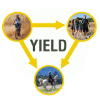
Share the Trail
Use designated trails to avoid damage to natural resources and prevent injury.
Avoid blocking the trail. Step aside to allow others to pass .
Whether you’re walking or biking, always yield to equestrians.
Leave no trace. Pack out what you pack in. Most preserves do not have trash cans. Littering is prohibited.
Abuses of trail etiquette should be brought to the attention of a ranger or call the Midpen main office at 650-691-1200.
Brochures and Resources
Some additional resources to help you enjoy the preserves!